
Pull out any map of Africa. Look at those borders. Straight lines, almost all of them, marching across desert and savanna with the quiet confidence of a man who has never been there and does not plan to go. Which is, more or less, exactly how they were drawn.
Berlin, 1884
In 1884, representatives from fourteen European nations gathered in Berlin to divide up a continent. The Congo, the Niger, the vast Saharan interior – carved into pieces over a few months by diplomats with coloured pencils and a frankly heroic lack of local knowledge. The lines they drew bore no relation to the mountains, rivers, ethnic territories, or villages beneath them. They were the product of negotiation between Europeans, about European interests, conducted entirely in Europe. The people who actually lived there were not consulted.
Comically Literal Borders
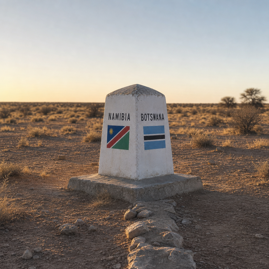
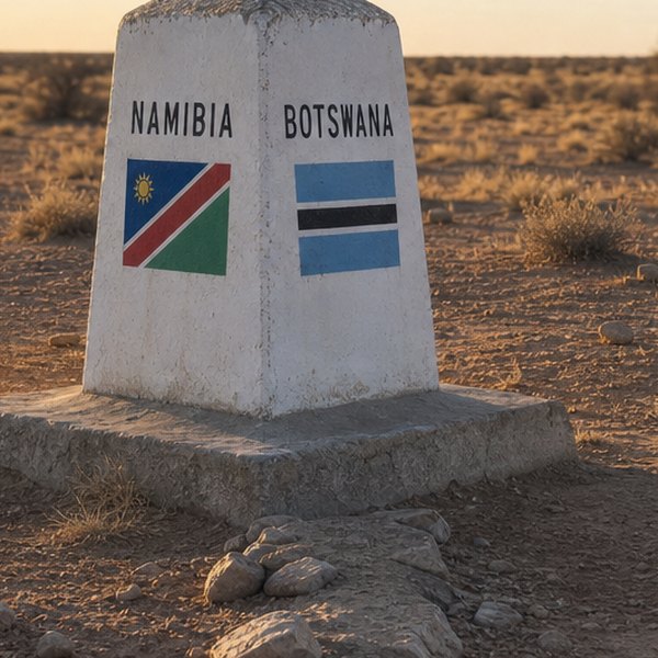
The resulting borders are, in places, almost comically literal. The boundary between Egypt and Sudan is a straight horizontal line across the desert – 1,280 kilometres of it, interrupted only briefly where someone remembered to be awkward about a strip of territory near Wadi Halfa. The line separating Namibia from Botswana is equally ruler-straight. You can stand there in the Kalahari and feel the absurdity of it physically. Scrub on one side, scrub on the other, and a sign telling you that this particular patch of identical scrub belongs to a different nation.
Europe’s Own Version
Europe has its own version of this strangeness, though it tends to be smaller and considerably more charming. The Belgian-Dutch village of Baarle – known as Baarle-Nassau on the Dutch side and Baarle-Hertog on the Belgian – is perhaps the most elaborate example. The border between the two countries does not go around the village. It goes through it, in dozens of tiny, irregular enclaves that resulted from medieval land transactions no one ever bothered to rationalise. Walk into a restaurant there and you might cross the national boundary between the front door and your table. During the Second World War, local legend has it, restaurants on the Belgian side could stay open later than Dutch ones, so proprietors simply moved the tables.
When the Fiction Becomes Visible
It is only when you travel to these places that the fiction becomes visible. The map in your head – those solid, meaningful lines between tidy, self-contained countries – feels perfectly reasonable until you are standing in a Saharan town that sits in three countries at once, or watching a Belgian shopkeeper step over a brass line inlaid into the floor of their kitchen to reach the toaster. For more reading on how the spaces we inhabit have been shaped by decisions made far away, Your Walls Are Lying To You (And They've Been Doing It Since The Victorian Era).
The borders feel permanent because maps feel permanent. But a map is just the last argument that won. The mountains and rivers were there long before the pencil lines, and in most cases, they will be there long after.
Questions this raises
- Which African borders caused conflict after independence?
- Why were the colonial borders never redrawn?
- Has any African country changed its colonial borders?
- How many countries were carved up at Berlin?